
MStar Land & Soil Suite
Land Services + GIS + Soil Cards & Fertility Mapping
Registration
Mutations/Transfers
GIS Layers
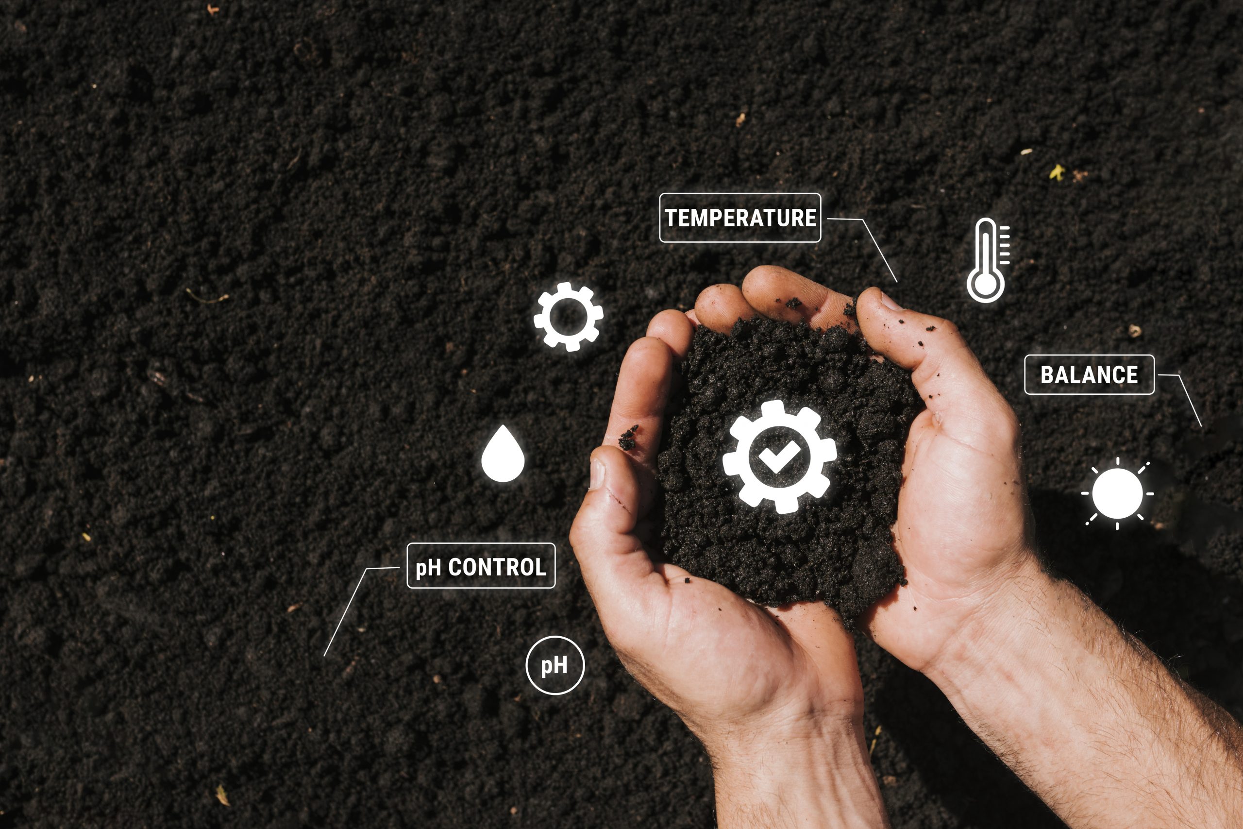
Soil Health Cards


Compliance
Auditable Registry

Solution Overview
Our Land & Soil Suite empowers Farmers and Agribusinesses with accurate
Land Registration & Property Details: Digitally manage land records, property information, and legal documentation.
GIS Mapping, Mutations & Transfers, Permits: Access geo-tagged maps, track land ownership changes, and manage permits efficiently.
Soil Assessment & Soil Cards: Get precise soil analysis with nutrient details, crop suitability, and personalized recommendations.
Agro-Climatic & Soil Type Insights: Understand your land’s climate zone and soil type for optimal crop planning

Land Registration and Property Details
Core Modules
Device Onboarding & Telemetry
Device Onboarding & Telemetry
Connect and monitor field devices for real-time data collection
Drone Imaging &
Analytics
Drone Imaging &
Analytics
Capture aerial images and generate actionable insights on land and crop health.
Advisory Actions & Follow-Ups
Advisory Actions & Follow-Ups
Provide tailored recommendations with tracking for timely implementation.
Risk Scoring & Alerts
Risk Scoring & Alerts
Identify potential issues and receive automated risk notifications for proactive management.
Security Feeds
Security Feeds
Monitor land and equipment security via live feeds.
Dashboards & Exports
Dashboards & Exports
Visualize field data and export reports for analysis and decision-making.
Analytics & Interventions
Anomaly Detection
Identify irregularities in soil health, irrigation, or crop conditions early.
Input Optimization
Recommend precise use of inputs (fertilizer, water, etc.) for maximum efficiency.
Incident Heatmaps
Visualize areas of risk or recurring issues across fields and regions.
Key Benefits
Precision inputs
Faster response to risks
Better planning & Quality of life
Interoperability & Security
Open device adapters
Evidence Storage
Audit Trails
Deployment & Models
SaaS / Govt / Private Cloud
Device gateway + Cloud analytics
Standalone or Integrates with CCC
Tie-in with CCC
What We Solve
Disparate land records; no integrated
soil mapping for planning
Mobile Apps
Farmer
Alerts & tasks
Officer
Exceptions & Inspections
Outcome KPIs
Incidents Prevented
Crop risk alerts
Input Savings
Yield Proxies
FAQs
Frequently Asked Questions
Pluggable—fit for purpose.
Optional ANPR/vehicle monitoring.
Get In Touch